Jeff Rich is a southern based photographer. He received his MFA in photography at the Savannah College of Art and Design in Savannah, Georgia. His work focuses on water issues ranging from recreation and sustainability to exploitation and abuse. He does so by exploring these subjects by using long-term photographic documentations of very specific regions of the United States. His project “Watershed: A Survey of The French Broad River Basin” was awarded the 2010 Critical Mass Book Award. His work has been exhibited internationally and has been featured on Flak Photo and Fraction Magazine, and as one of Daylight Magazine’s monthly podcasts. He was also named as one of the Magenta Flash Forward 2011 Emerging Photographers.
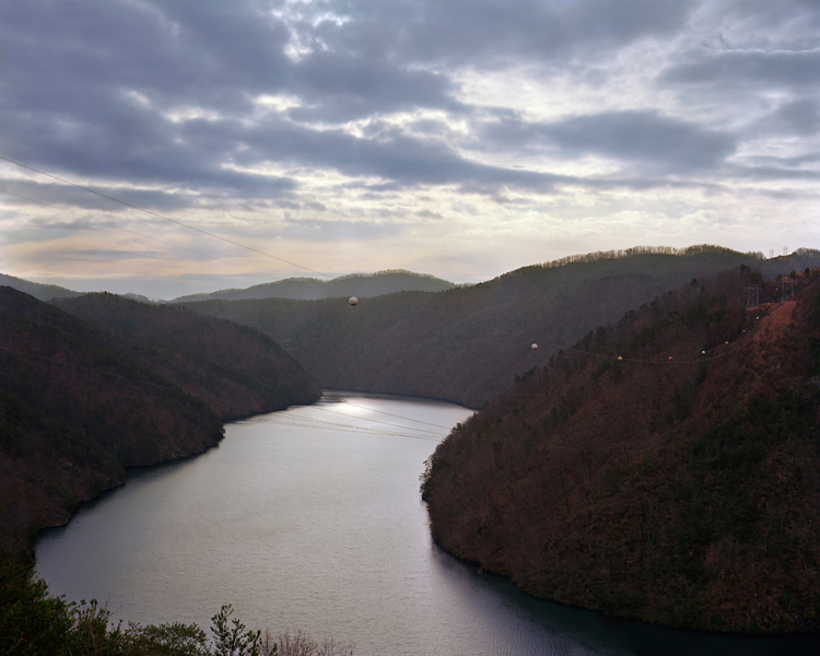
Calderwood Lake, Little Tennessee River, Vonore, TN, 2012
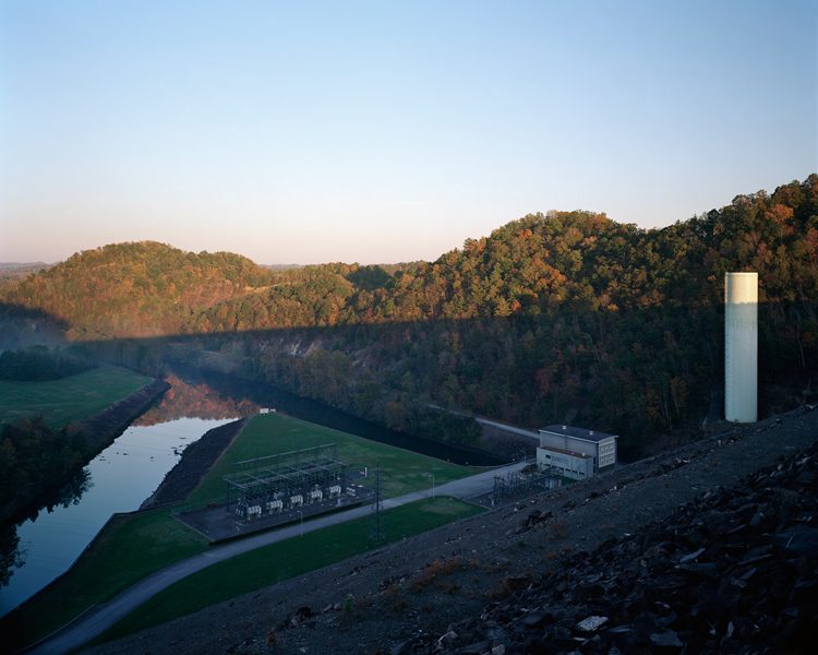
TVA South Holston Dam, South Fork Holston River, TN, 2012
The Watershed Project
A common misconception of a watershed is that it’s all about the water. While water does play a large part, the land plays an even larger role by directing the water to a common point, such as a river or ocean. Thus human impact on the land directly affects the water that runs over it. With this project I intend to highlight this relationship between the land, water, and man, within the Mississippi River watershed.
This is a long-term series of work that aims to define the Mississippi River watershed, the largest watershed in North America, in terms of its smaller pieces. I intend to document the four corners of the watershed in a series of chapters. The French Broad, and the Tennessee watersheds make up the southeastern corner of the Mississippi watershed.
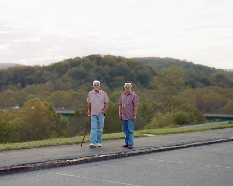
Fort Patrick Henry Dam, South Fork Holston River, Kingsport, Tennessee, 2012

South Holston Weir Dam, South Fork Holston River, TN, 2012
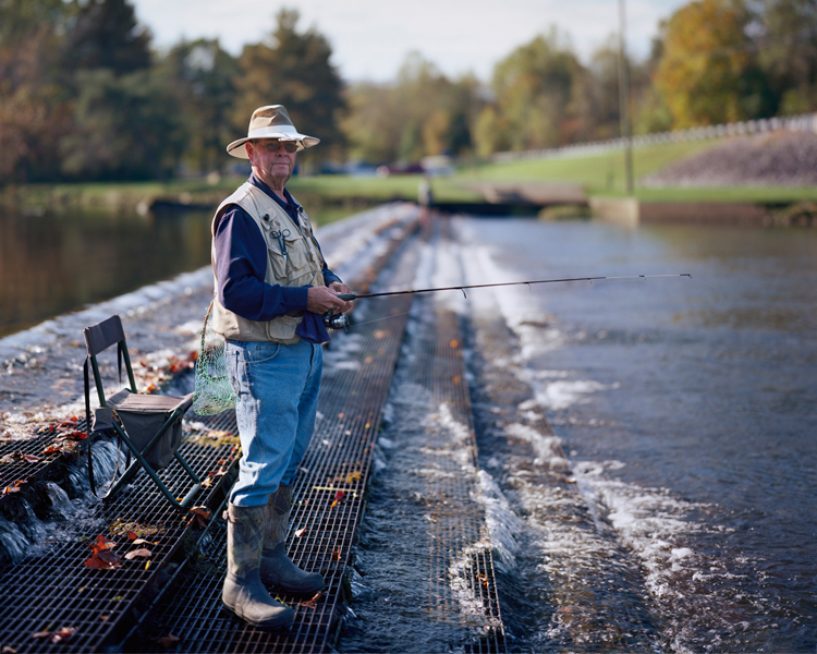
Fisherman, South Holston River, TN, 2012
Continuing down the system of watersheds that make up the southeastern quarter of the Mississippi River Basin, the second chapter of the Watershed project examines the Tennessee River Basin, a system of rivers that is for the most part controlled and ultimately harnessed by Tennessee Valley Authority. A government organization started in 1933 that provides flood control, navigation on the rivers, economic development, and finally electric power production. The TVA operates nearly 50 dams in the Tennessee Watershed, as well as 18 power plants, and 3 nuclear plants.
I have recently started working on the Mississippi River as well and I am currently focusing on the Army Corps of Engineers and how they control flooding and drought throughout the Watershed. I am also documenting the use of the rivers in the watershed as commercial arteries for much of the Eastern US.
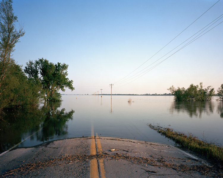
Bird’s Point-New Madrid Floodway, Mississippi River, Wyatt, Missouri, 2011
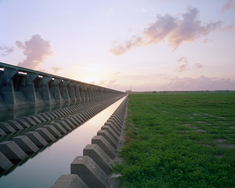
Bonnet Carré Spillway, Mississippi River, St Charles Parish, LA, 2012
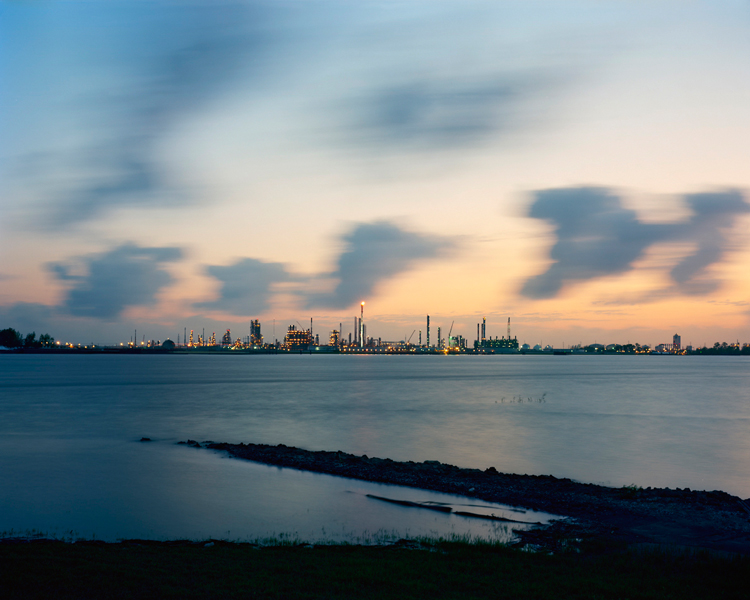
Union Carbide Petrochemical Plant, Mississippi River, Hahnville, LA, 2012
To view more of Jeff’s work please visit his website.
You can find his book online at photo-eye.