Dianna is a social documentary photographer that works predominately on long-term projects. She grew up on a farm in rural Ohio, and has always been interested in agricultural practices. She is interested in how time will affect the outcome of her projects. Temple uses both analog and digital processes in her work. She completed her BFA from Bowling Green State University in 2010, an OTD in Health Science from the University of Toledo in 2013, and is obtaining her MFA from the University of Missouri.


OgallalaLand
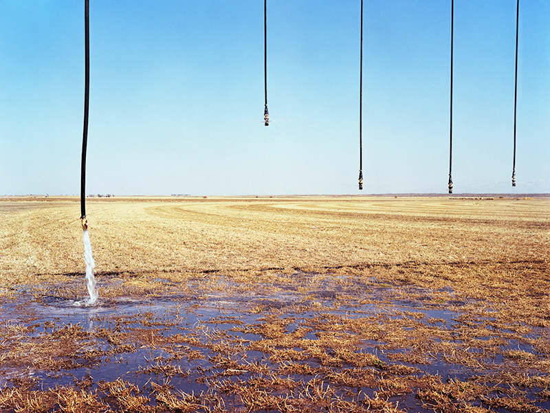
In the Midwest, 400 feet beneath the Earth’s surface, lies a seemingly endless body of water trapped between sand, clay and ancient sediment known as the High Plains aquifer, or formally known as the Ogallala aquifer. The aquifer spans over an eight state region that includes Nebraska, South Dakota, Wyoming, Colorado, Kansas, Oklahoma, New Mexico, and Texas. It was formed by melting glaciers during the last ice age and took over 6,000 years to form the underground water system that is interconnected with rivers and lakes.
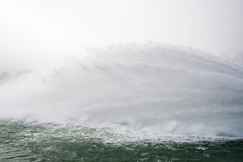
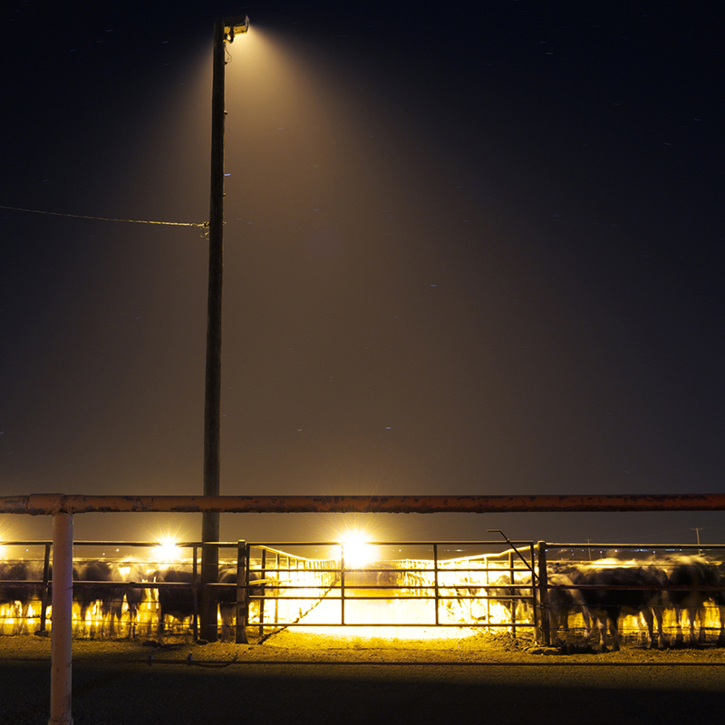
Beginning in the 1950’s, pumping the aquifer added value to a vast and dry region that had experienced the hardships of the Great Depression and the Dust Bowl. Millions of gallons of water were pumped for agriculture, business and urbanization. Dams, man-made lakes, and hydro-power plants were created to control the water and it allowed the region to thrive. Due to the seemingly endless water supply, the region is responsible for one-third of our nation’s food supply and 2.3 million people’s drinking water; therefore is considered the breadbasket of the world.
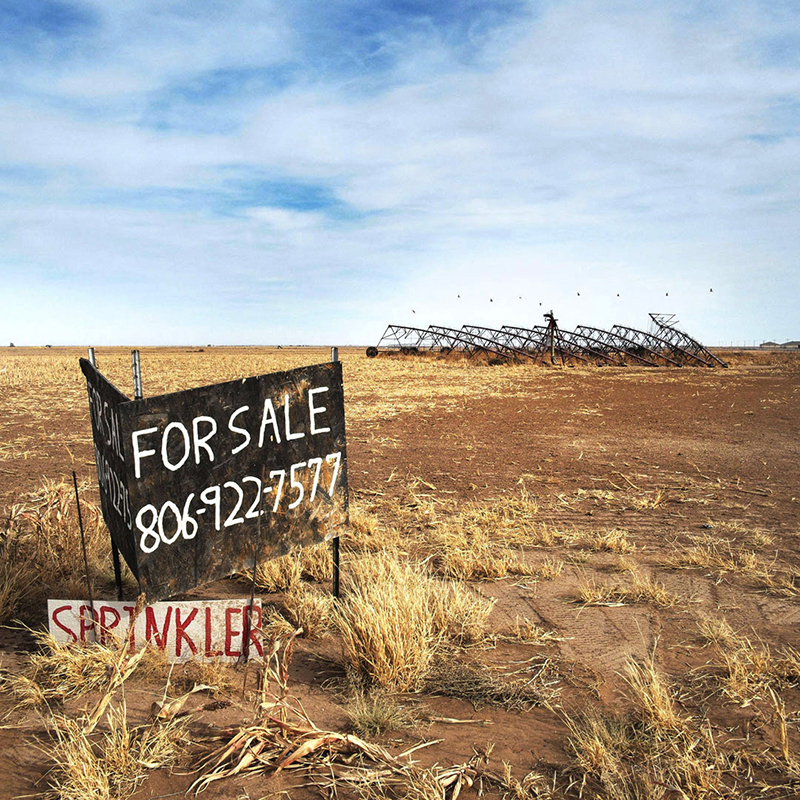
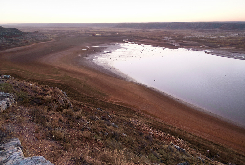
The aquifer is in jeopardy. It has been pumped for the last 50 years with little regulation and monitoring of water usage. The decline of the aquifer is irreversible; decline is measured in feet per year while recharge is measured in inches. In the southern region, Texas and Kansas have only have average rainfalls of fourteen inches per year. It has been predicted that the aquifer will dry up by the year 2050 if pumped at the current rate and some southern regions by 2020.
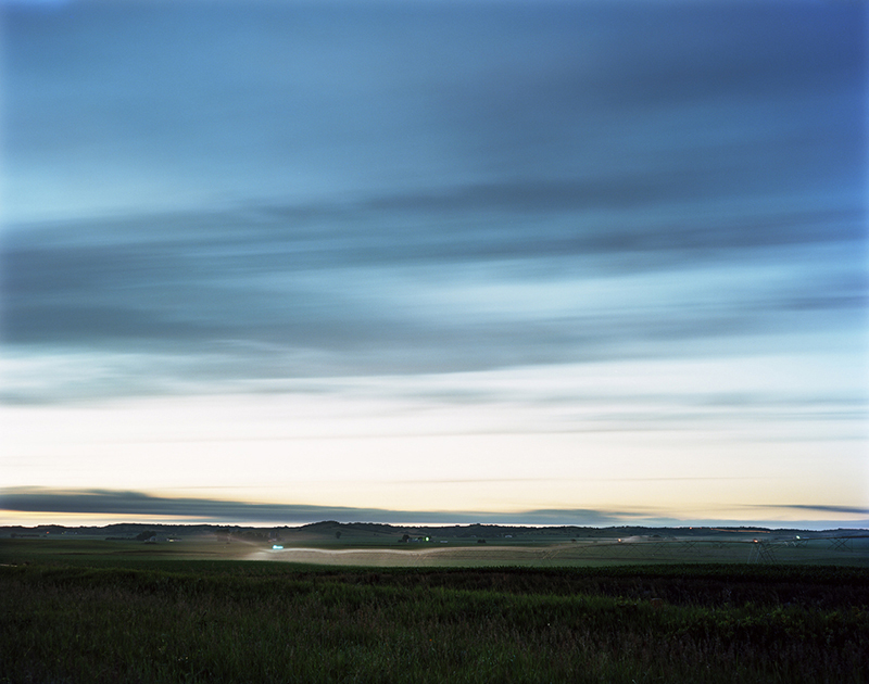
The aquifer is a vital natural resource for both the survival of a region and our nations food supply. For nine years, with the aquifer beneath my feet, I have photographed within the perimeter of the 174,000 sq. mile area. I document the subtle and sometimes drastic affects of the changing landscape in order to be part of a story that does not yet have an ending. Although it seems that devastation is on the horizon, I also believe in the possibility human innovation for one of the greatest challenges of our time.






To view more of Dianna’s work please visit her website.